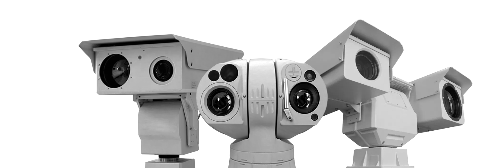
Noctera T1
Cooled Long-Range Infrared Thermography Camera System
Cooled MWIR thermal camera with up to 55 km detection range, 20× optical zoom, and 360° PTZ monitoring for long-range security applications.
-
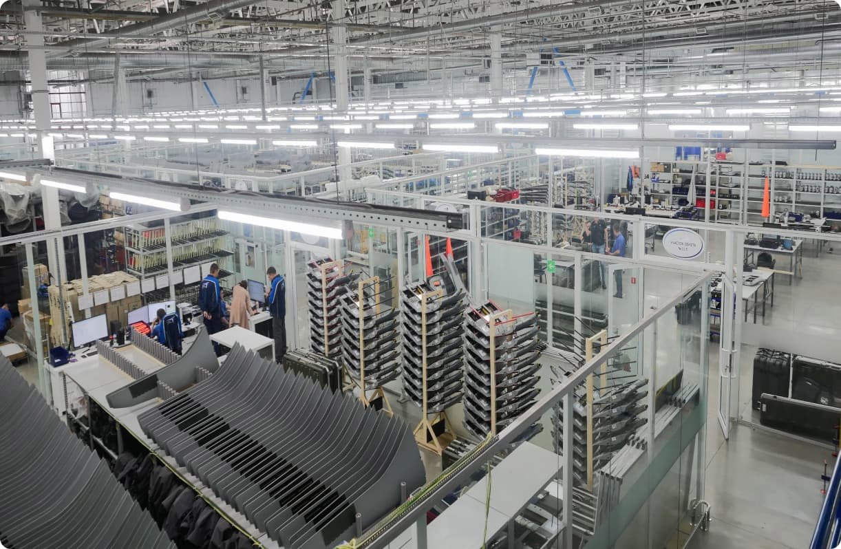
6000Sq.m., Production Area
-
150+On Our Team
-
28+Projects
-
$36.6Million2025 Revenue

Product Description
The Noctera T1 is a high-performance cooled sensor long-range infrared thermography camera designed for ultra-long-distance surveillance, border security, and critical infrastructure monitoring. Equipped with a cooled MWIR thermal detector and advanced image processing technology, the system delivers exceptionally clear thermal images with high sensitivity, even in fog, rain, smoke, and low-light environments.
Featuring a powerful 20× optical zoom lens with detection capability up to 55 km for large targets, the camera supports continuous 24/7 monitoring with precise thermal tracking performance. Its rugged IP66-rated aluminum housing and 360° PTZ integration ensure reliable outdoor operation in harsh environments such as coastal areas, airports, highways, and border surveillance applications.
-
55 km Ultra Long-Range DetectionAdvanced cooled thermal imaging enables extreme-distance target detection and monitoring.01
-
Cooled MWIR Thermal SensorHigh-sensitivity detector provides sharp thermal imaging in harsh weather conditions.02
-
360° PTZ Surveillance SystemContinuous panoramic monitoring with precision tracking and optical zoom capability.03
Technical Specification
| Model | Noctera T1 | |
|---|---|---|
| Effective Distance (DRI) | Vehicle (2.3*2.3m) | Detection: 20km; Recognition: 13km; Identification: 7km |
| Human (1.8*0.6m) | Detection: 15km; Recognition: 8km; Identification: 4km | |
| Ship (20*5m) | Detection: 55km; Recognition: 40km; Identification: 20km | |
| Thermal Sensor | Sensor | Cooled Focal Plane Array (FPA) MCT HgCdTe detector |
| Cooling | Stirling cryocooler (Life time 8000~10000 hrs) | |
| Effective Pixels | 640x512,50HZ | |
| Pixel Size | 15μm | |
| NETD | ≤20mK | |
| Spectral Range | 3.7 - 4.8μm, MWIR | |
| Thermal Lens | Focal length | 40~800mm 20X F4.0 |
| FOV (640*512) | 13.6°×11°~0.7°×0.51° | |
| Angular radian | 0.37~0.019mrad | |
| Focus | Manual/Auto Focus (3A adaptive active focusing algorithm, supports multiple trigger modes). | |
| Lens Type | Motorized (Electronic Zoom) | |
| Optical Machine | 3CAM mode and AS+DOE optical structure | |
| Image | Image Stabilization | Support Electronic Image Stabilization |
| Enhance | Stable operational temperature without TEC, starting time less than 4 seconds | |
| SDE | Support SDE digital image processing | |
| Pseudo Color | 16 pseudo color and B/W, B/W inverse | |
| AGC | Support | |
| Digital Zoom | 1~64X (Continues Zoom, step 0.1) | |
| Enhance | Strong Light Protect | Support |
| Temp Correction | Thermal imaging clarity is not affected by temperature. | |
| Scene mode | Support multi-configuration scenarios, adapt to different environment | |
| Lens Servo | Support lens preset, focal length return and focal length location. | |
| Azimuth Information | support angle real-time return and positioning; azimuth video overlay real-time display. | |
| Parameter Setting | OSD Menu Remote Call Operations. | |
| Life Index Recording | Working time, shutter times, ambient temperature, core device temperature | |
| PTZ | Load Ability | 50kg |
| Rotation | Pan: 0~360°, tilt: -45~+45° | |
| Speed | Pan: 0.01~30°/S, Tilt: 0.01~15°/S | |
| Preset | 255 | |
| Interface | Ethernet | RS-485(PELCO D protocol, baud rate 2400bps),RS-232(option),RJ45 |
| Protocol | IPv4/IPv6, HTTP, HTTPS, 802.1x, Qos, FTP, SMTP, UPnP, SNMP, DNS, DDNS, NTP, RTSP, RTP, TCP, UDP, IGMP, ICMP, DHCP, PPPoE, ONVIF | |
| Video Output | PAL/NTSC | |
| Power | AC12V /DC24V | |
| Compression | H.265 / H.264 / MJPEG | |
| Environmental | Operate Temp | -25℃~+55℃(-40℃ optional) |
| Storage Temp | -35℃~+75℃ | |
| Humidity | <90% | |
| Ingress Protect | IP66 | |
| Housing | PTA three-resistance coating, Seawater corrosion resistance, Aviation waterproof plug | |
Industry-specific tasks
-
Construction and land management
-
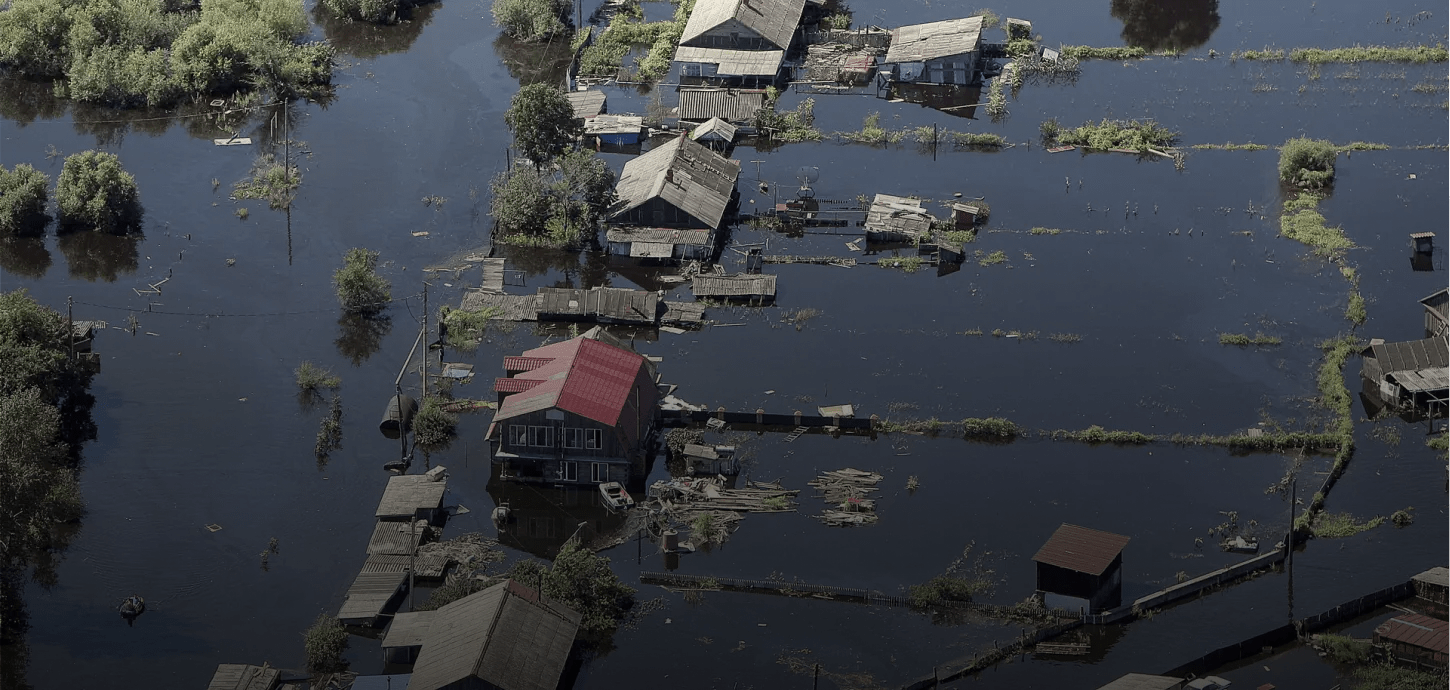
Emergency response and search & rescue operations
-
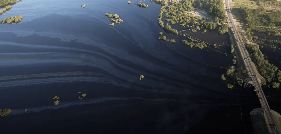
Environmental organizations
-
Forestry and agriculture
-
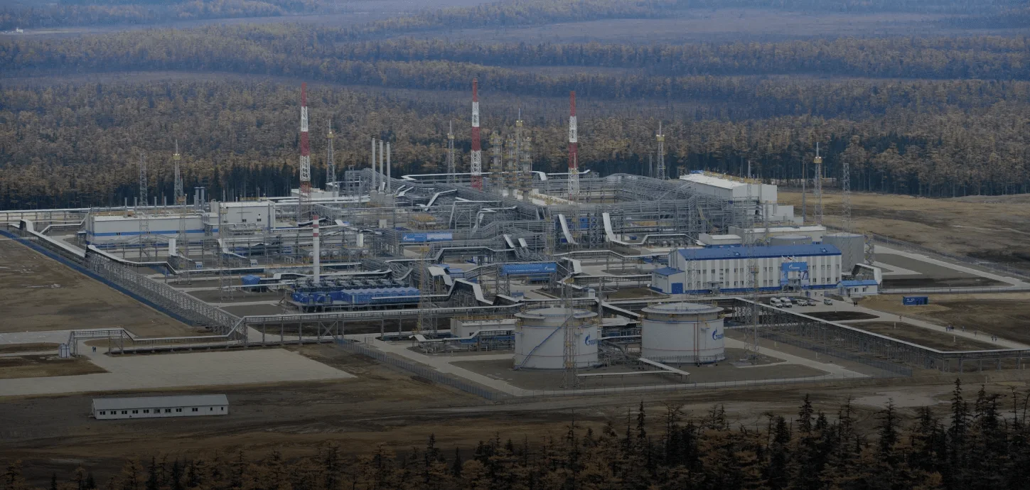
Oil and gas companies
-
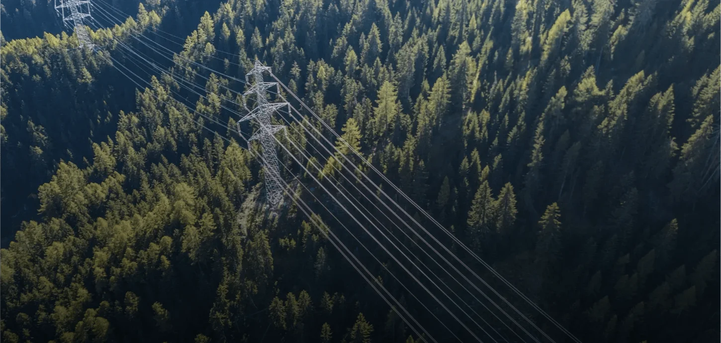
Overhead power line monitoring


Leave a consultation request
About us
Our company operates in the field of advanced thermal camera and intelligent video surveillance systems, developing innovative solutions that deliver high-accuracy imaging in both day and night conditions, even in harsh environments. Leveraging advanced thermal detection technologies, our systems analyze temperature differences that are difficult to detect with the human eye, enabling early identification of critical situations.
Equipped with real-time data transmission and AI-powered analytics capabilities, our solutions ensure reliable monitoring of targets over long distances. This allows field developments to be assessed quickly, clearly, and without interruption, enhancing operational efficiency and strengthening decision-making processes.
Main application areas of our solutions:
• Early detection and prevention of forest fires
• Runway and perimeter security, and intrusion detection at airports
• Environmental monitoring and thermal-based analysis
• Monitoring of energy transmission lines and high-voltage infrastructure
• Construction site and large-area land management
• Security for ports, industrial facilities, and logistics centers
• Search and rescue operations and emergency management