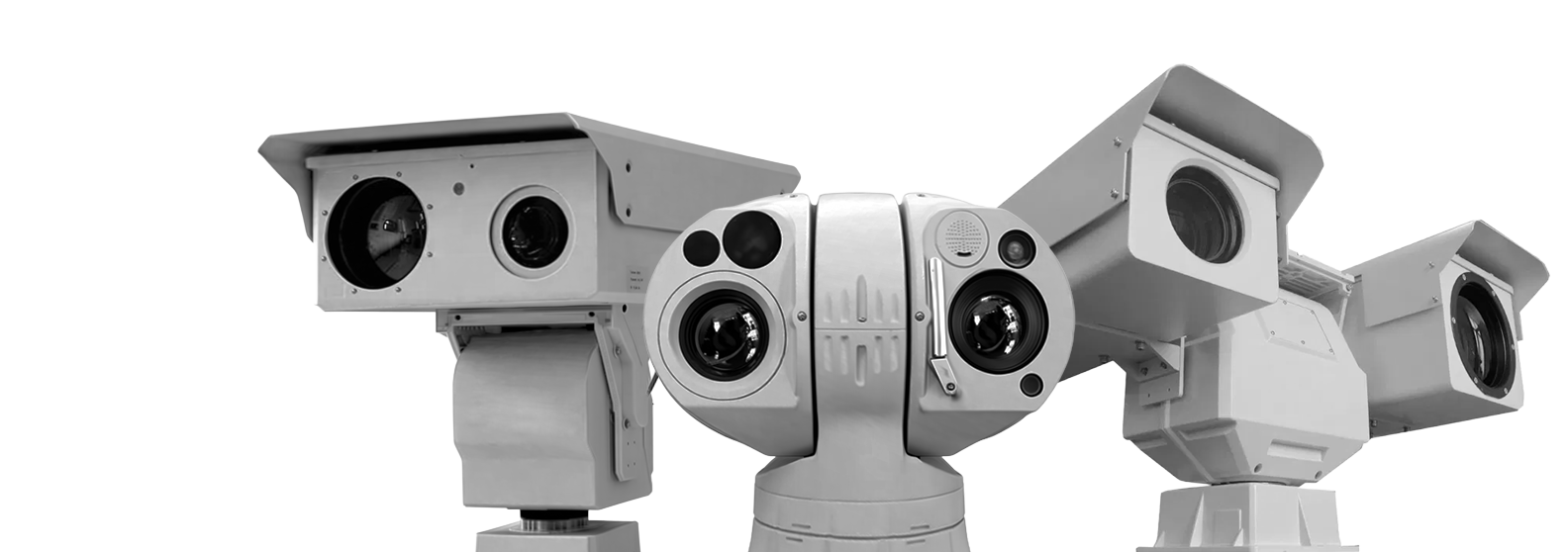
Velix
HD High-Speed Thermal Imaging Camera for Airport Use
High-speed HD thermal PTZ camera with 30× optical zoom and 360° monitoring for airport security, perimeter protection, and critical surveillance.
-
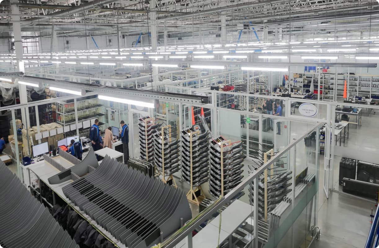
6000Sq.m., Production Area
-
150+On Our Team
-
28+Projects
-
$36.6Million2025 Revenue

Product Description
The Velix is a high-speed HD thermal imaging camera designed for airport security, perimeter monitoring, and critical infrastructure surveillance. Built with 5th-generation uncooled infrared technology and a high-sensitivity UFPA thermal sensor, the system delivers clear thermal imaging and reliable target detection in low-light, foggy, or harsh weather conditions.
Equipped with a 30× optical zoom visible camera and intelligent PTZ functionality, the camera supports 360° continuous monitoring with rapid rotation and precise positioning. Its IP66-rated rugged housing ensures stable outdoor operation for airports, railways, highways, harbors, and large public areas requiring fast-response thermal surveillance.
-
High-Speed PTZ TrackingFast rotation and auto-focus enable rapid target tracking and response.01
-
HD Thermal ImagingHigh-sensitivity thermal sensor provides clear imaging in low visibility conditions.02
-
30× Optical Zoom CameraLong-range visible imaging supports accurate identification and monitoring.03
Technical Specification
| Model | Velix |
|---|---|
| Detection | Vehicle: 1700m |
| Human: 720m | |
| Identification | Vehicle: 500m |
| Human: 200m | |
| Thermal sensor | 336*256, 5th generation UFPA, 50mk NETD, 7.5-14um spectral response |
| Thermal lens | 20mm F1.0 |
| Visible camera | 2.1 mega pixels, 1/2.8''CCD, auto color to B/W at 0.01lux |
| Lens | 4.7~141mm, 30X, auto focus |
| PT | 360° continuous pan, -90°-5° tilt |
| Rotation speed | Pan: 0.01°~200°/s; Tilt: 0.01°~120°/s, Max. speed for calling presets: 250°/s; |
| Preset | 255, breakpoint memory |
| Auto mode | Preset/patrol/scanning/auto scanning/path/random scanning |
| Path | 4 paths |
| Auto watch | Available homing time, preset, patrol, scanning, auto scanning, path and random scanning. |
| Menu | Multi-language UI with vivid icons and operational instruction |
| 3D positioning | 3D positioning(click to zoom in) |
| Information display | Time, direction, title, coordinates, temperature etc. |
| Compass | Automatic calculation of orientation |
| Timing start | Available for homing time, preset, patrol, scanning, auto scanning, path and random scanning. |
| Alarm | 4 alarm inputs, 2 alarm outputs(optional) |
| Protocol | Pelco-P/D and other mainstream protocols |
| Online updating | Online updating through communication cable, low maintenance cost |
| Baud rate | 2400/4800/9600/19200bps |
| Ingress protection | IP66, TVS1500V anti-lighting and anti-surge |
| Working environment | -30~60℃, <90%RH non-condensing |
| Power supply | DC12V/4A |
| Dimension and weight | Φ230(mm)x348(mm), 5kg |
Industry-specific tasks
-
Construction and land management
-
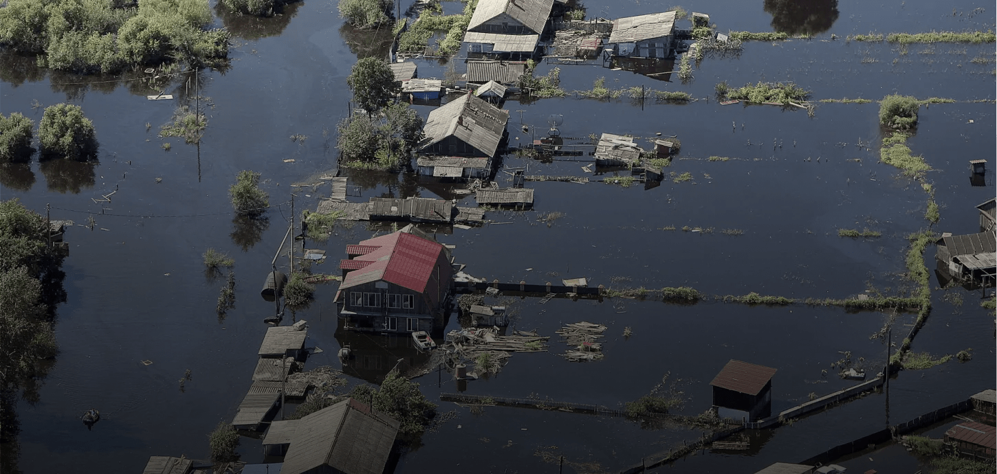
Emergency response and search & rescue operations
-
Environmental organizations
-
Forestry and agriculture
-
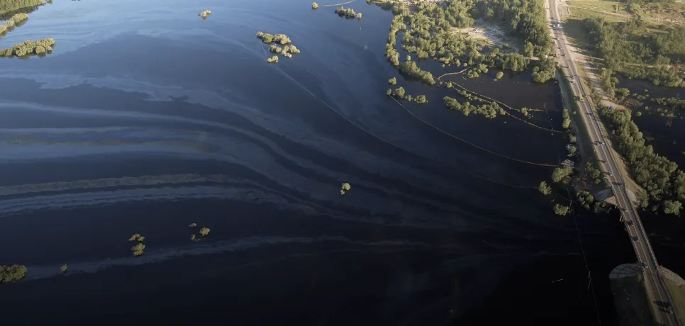
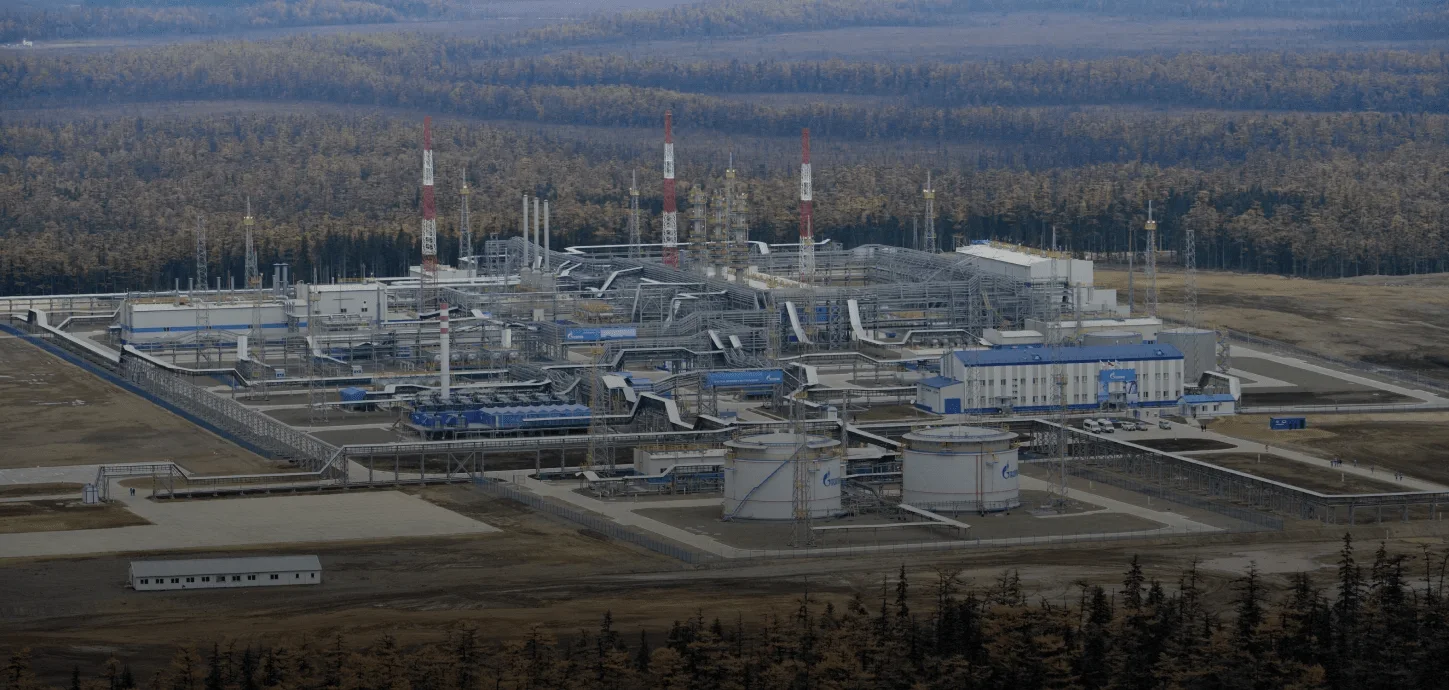
Oil and gas companies
-
Overhead power line monitoring


Leave a consultation request
About us
Our company operates in the field of advanced thermal camera and intelligent video surveillance systems, developing innovative solutions that deliver high-accuracy imaging in both day and night conditions, even in harsh environments. Leveraging advanced thermal detection technologies, our systems analyze temperature differences that are difficult to detect with the human eye, enabling early identification of critical situations.
Equipped with real-time data transmission and AI-powered analytics capabilities, our solutions ensure reliable monitoring of targets over long distances. This allows field developments to be assessed quickly, clearly, and without interruption, enhancing operational efficiency and strengthening decision-making processes.
Main application areas of our solutions:
• Early detection and prevention of forest fires
• Runway and perimeter security, and intrusion detection at airports
• Environmental monitoring and thermal-based analysis
• Monitoring of energy transmission lines and high-voltage infrastructure
• Construction site and large-area land management
• Security for ports, industrial facilities, and logistics centers
• Search and rescue operations and emergency management