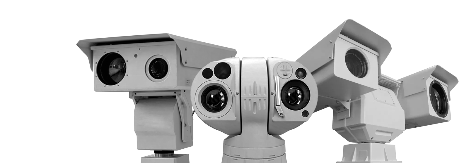
Spectra M2
3km 360° Forest Fire Detection PTZ Thermal Camera
360° PTZ thermal camera with up to 3 km fire detection range. Combines thermal and optical imaging for reliable monitoring and early warning in challenging environments.
-
6000Sq.m., Production Area
-
150+On Our Team
-
28+Projects
-
$36.6Million2025 Revenue

Product Description
The Spectra M2 is a high-performance thermal PTZ camera designed for early forest fire detection, perimeter security, and wide-area surveillance. Its 640×512 uncooled thermal sensor ensures accurate heat detection in darkness, fog, and smoke, while the integrated Full HD visible camera provides clear visual confirmation for improved situational awareness.
With 360° continuous rotation and a 25–75 mm motorized zoom lens, the system delivers full coverage and detailed monitoring across large areas. It supports intelligent analytics and automatic alarm functions, helping operators respond quickly to potential threats. Its IP67-rated rugged design ensures reliable operation in harsh outdoor environments.
-
360° PTZ CoverageFull rotation and tilt enable continuous wide-area monitoring without blind spots.01
-
Long-Range Fire DetectionDetects fire up to 3–4 km, enabling early warning and fast response.02
-
Thermal + Optical ImagingCombines 640×512 thermal and 1080P camera for accurate detection and verification.03
Technical Specification
| Model | Spectra M2 | |
|---|---|---|
| Effective Distance (DRI) | Vehicle (2.3×2.3m) | Detection: 6.3 km; Recognition: 1.8 km; Identification: 0.9 km |
| Human (1.8×0.6m) | Detection: 2.5 km; Recognition: 0.7 km; Identification: 0.35 km | |
| Fire Detection | 4 km (3 km for 2×2 m fire) | |
| IVS Range | 2.3 km (Vehicle); 0.8 km (Human) | |
| Thermal Sensor | Sensor | 5th generation uncooled FPA sensor |
| Effective Pixels | 640×512 @ 50Hz | |
| Pixel Size | 17μm | |
| NETD | ≤45 mK | |
| Spectral Range | 7.5–14μm (LWIR) | |
| Thermal Lens | Focal Length | 25–75 mm (Zoom) |
| FOV | 24°×18° ~ 8°×6° | |
| Angular Radian | 0.68 ~ 0.22 mrad | |
| Visible Camera | Sensor | 1/2.8" CMOS (Star Light), ICR D/N |
| Resolution | 1920×1080 (4MP optional) | |
| Frame Rate | 32Kbps–16Mbps, 60Hz | |
| Min. Illumination | 0.05 Lux (Color), 0.01 Lux (B/W) | |
| SD Card | Supported | |
| Visible Lens | Optical Lens | 8–320 mm, 40× Zoom |
| Image Stabilization | Supported | |
| Defog | Supported | |
| Focus Control | Manual / Auto | |
| Image | Image Stabilization | Electronic Image Stabilization |
| Enhance | No TEC, startup < 4s | |
| SDE | Supported | |
| Pseudo Color | 16 modes + B/W | |
| AGC | Supported | |
| Digital Zoom | 1–8× | |
| Ranging Ruler | Supported | |
| Laser | Effective Length | 300 m |
| Angle | 3°–65° | |
| PTZ | Patrol | 16 routes, 256 presets each |
| Rotation | Pan 0–360°, Tilt -90°~+90° | |
| Speed | Pan up to 200°/s, Tilt up to 80°/s | |
| Preset | 3000 | |
| Enhance | Fan / Wiper / Heater | |
| Watch Function | Preset / Cruise / Panorama etc. | |
| Interface | Ports | RS-485, RS-232 (opt), RJ45 |
| Protocol | IPv4/IPv6, HTTP, RTSP, ONVIF, etc. | |
| Video Output | PAL / NTSC | |
| Power | AC 12V / DC 24V | |
| Compression | H.265 / H.264 / MJPEG | |
| Environmental | Operating Temp | -25°C ~ +55°C |
| Storage Temp | -35°C ~ +75°C | |
| Humidity | < 90% | |
| Protection | IP67 | |
| Housing | Corrosion resistant | |
| Power | 40W (normal), 60W peak | |
| Weight | 10 kg | |
| Size | 312×200×296 mm | |
| Mounting | Wall / Tripod / Vehicle etc. | |
| Optional | 4G | Supported |
| LRF | Up to 1 km | |
| Platform | Vehicle stabilization platform | |
Industry-specific tasks
-
Construction and land management
-
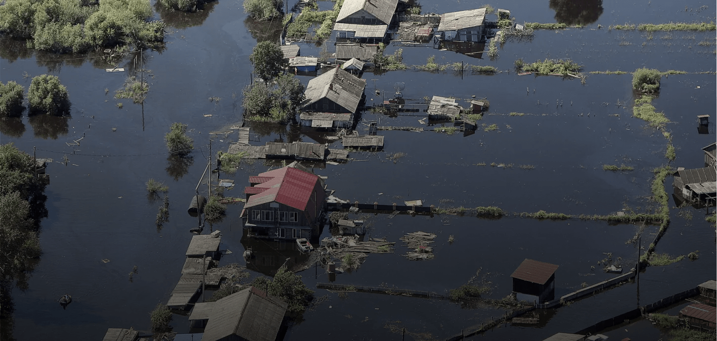
Emergency response and search & rescue operations
-
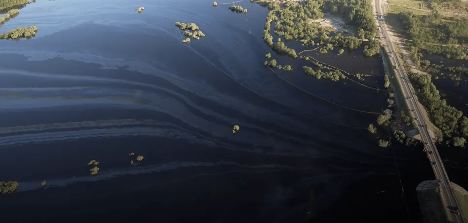
Environmental organizations
-
Forestry and agriculture
-
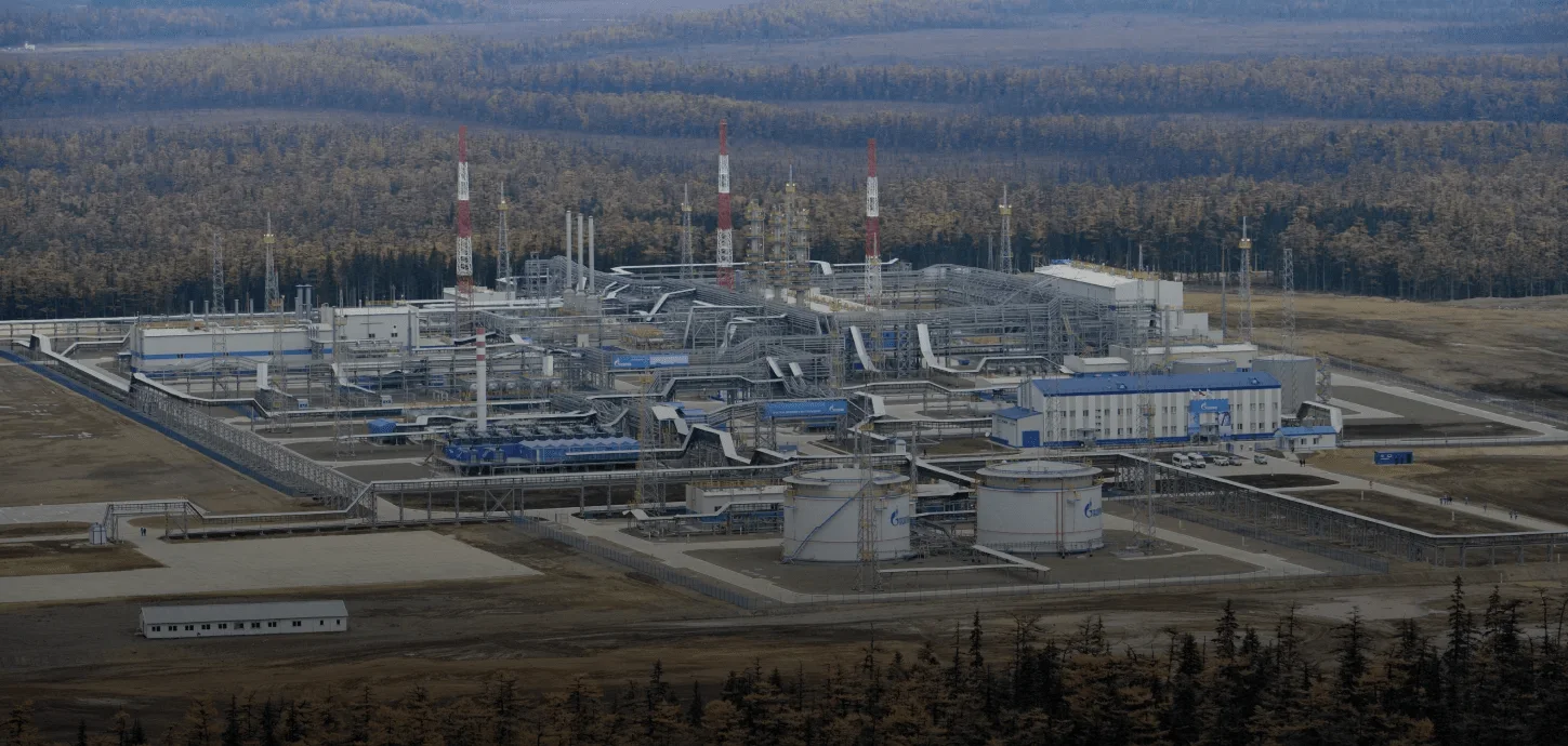
Oil and gas companies
-
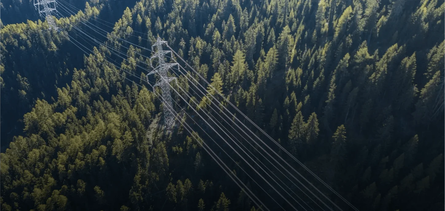
Overhead power line monitoring


Leave a consultation request
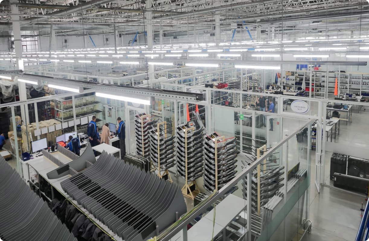
About us
Our company operates in the field of advanced thermal camera and intelligent video surveillance systems, developing innovative solutions that deliver high-accuracy imaging in both day and night conditions, even in harsh environments. Leveraging advanced thermal detection technologies, our systems analyze temperature differences that are difficult to detect with the human eye, enabling early identification of critical situations.
Equipped with real-time data transmission and AI-powered analytics capabilities, our solutions ensure reliable monitoring of targets over long distances. This allows field developments to be assessed quickly, clearly, and without interruption, enhancing operational efficiency and strengthening decision-making processes.
Main application areas of our solutions:
• Early detection and prevention of forest fires
• Runway and perimeter security, and intrusion detection at airports
• Environmental monitoring and thermal-based analysis
• Monitoring of energy transmission lines and high-voltage infrastructure
• Construction site and large-area land management
• Security for ports, industrial facilities, and logistics centers
• Search and rescue operations and emergency management